2019 HAB Launch

On May 31, 2019 at 5:14PM, W1HLO successfully launched its high altitude balloon (HAB) with APRS tracking and a live amateur television (ATV) feed. The ATV equipment was able to broadcast a steady feed for about 20-25 seconds after launch. You can view a video of the launch with a split screen of the deployment and ATV feed. The RunCam Swift 2 camera provided a decent NTSC picture. However, the MFJ-8708 ATV transmitter coupled with three lithium 9V batteries might not have provided enough transmission power for the flight. (The multiple 9V batteries were needed to power the MFJ-8708 for a greater than 30 minute run time.)
To track the HAB (call sign W1HLO-1), we used the Byonics MicroTrak 1000 with the recommended dipole antenna from Byonics. This device transmits the balloon's GPS position and altitude using APRS on the VHF band. We used lithium AA batteries in the APRS transmitter to ensure it would work for a long time and at cold temperatures. A custom 3D-printed box was created by Kyle to house the equipment. To add a traveler, Alex 3D-scanned our mascot, a Shark Boy action figure, and pixelated him with Blender. Alex named the traveler "Shak Boi" and the rendering was 3D printed and hot glued to the box. (You can see Shak Boi in the ATV video feed of the launch.)

After launching the balloon, we did not see any updates from APRS gateways on aprs.fi. However, 45 minutes later, we were all excited to see that the MicroTrak was heard over Rhode Island! The MicroTrak then transmitted W1HLO-1's position for the remainder of the flight and can be viewed on the aprs.fi website. W1HLO-1 landed somewhere near Westport, MA.
The following day, Peter, Vanessa, and Jake drove out to Westport with radios, a yagi, and software radios to decode APRS packets. After driving around the group was able to receive APRS packets from W1HLO-1. The packets were in a compressed format and unfortunately not human-readable. The group called up Dr. G and asked if he could load a Perl library called "FAP" (for the Finnish APRS Parser) on a Linux box for decoding compressed APRS packets. After some quick hacking over the phone and exchanging e-mails with compressed APRS packets, and while the sun was setting, the following was decoded:
srccallsign: W1HLO-1
longitude: -71.1041245421245
latitude: 41.5694065934066
type: location
posresolution: 0.1852
telemetry: HASH(0xba21e0)
origpacket: W1HLO-1>T1ST1V,WIDE1-1,WIDE2-1,qAR,W1TG-1:`c^4l .O/'\"4G}|(X!{#R|!wIe!|3
header: W1HLO-1>T1ST1V,WIDE1-1,WIDE2-1,qAR,W1TG-1
body: `c^4l .O/'\"4G}|(X!{#R|!wIe!|3
altitude: 48
daodatumbyte: W
posambiguity: 0
format: mice
symbolcode: O
speed: 0
digipeaters: ARRAY(0xcd7558)
mbits: 101
symboltable: /
comment: '\|3
dstcallsign: T1ST1V
course: 18
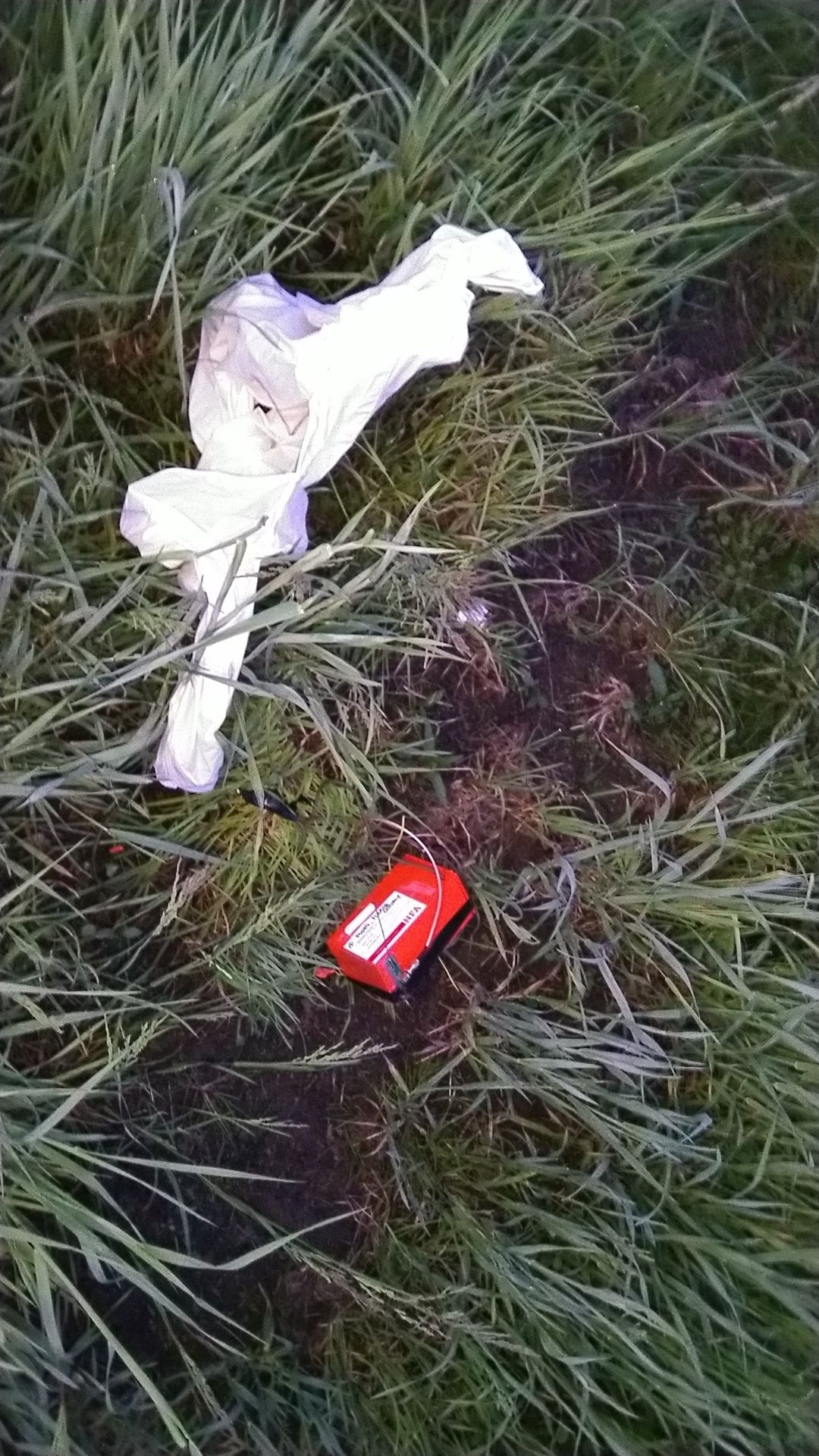
Peter, Vanessa, and Jake had a latitude and longitude for W1HLO-1! They were able to get permission to go on private property, a farm, to retrieve the payload before it got too dark to see. We were so fortunate to be able to find and retrieve our equipment before the batteries ran out in the MicroTrak 1000. Please be sure to check out our YouTube channel for more videos of the launch as well as our live ATV broadcast from the ham shack following the launch!

